Earth Environmental Monitoring
Arbor: Water, coasts and changing landscapes.
Arbor connects remote observations of water and coastal systems with field records, helping research teams establish which comparisons are reliable.
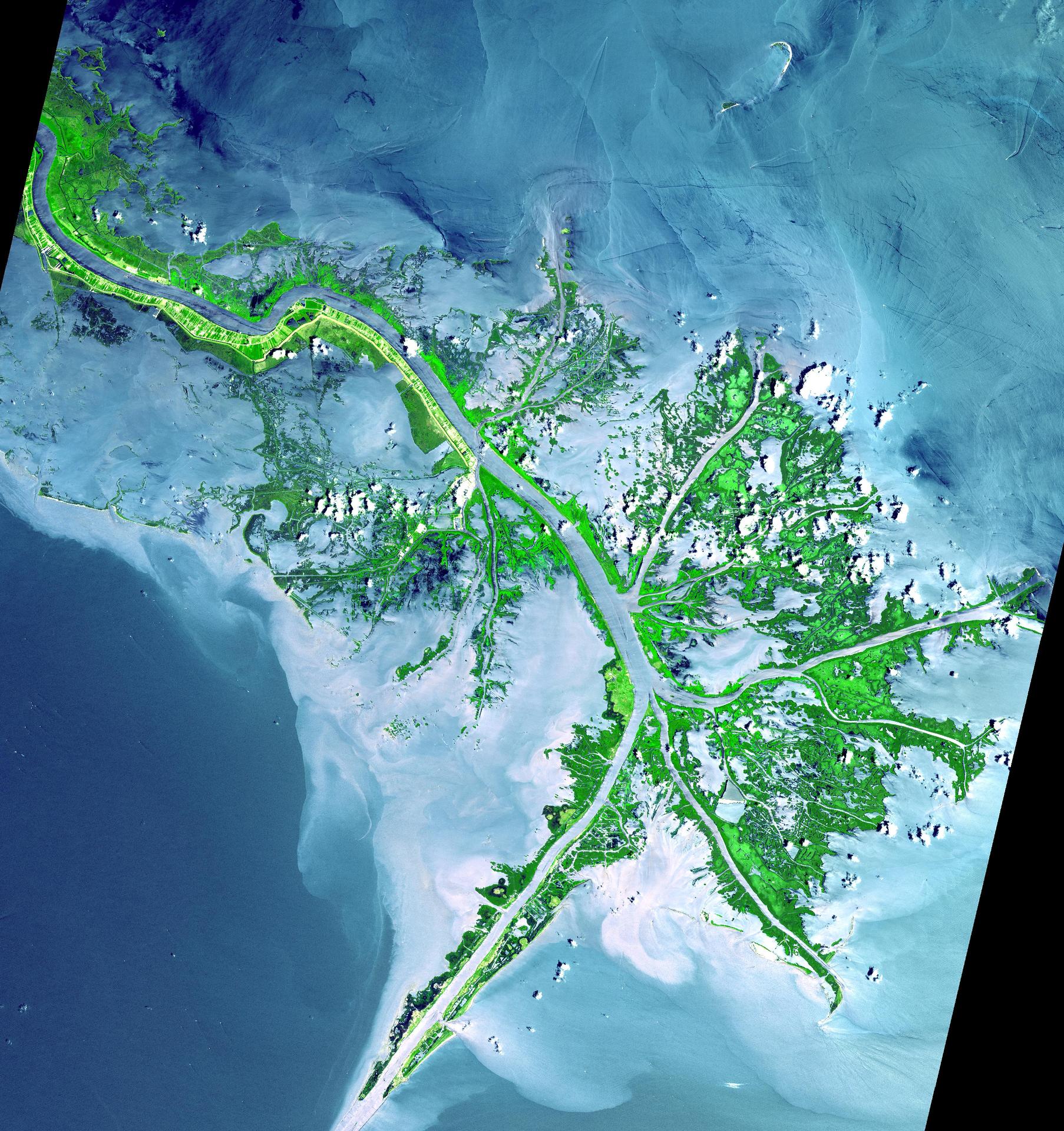
NASA/JPL heritage image · Terra/ASTER Mississippi River Delta · Image credits
Scientific purpose
The program follows river and coastal environments through repeat imagery and site measurements. It considers water level, sediment, vegetation and the conditions that affect how a landscape appears to an instrument. Teams document the measurement method before interpreting a change.
Observing approach
Remote images are compared with field observations at selected sites. The field record describes the sampling method and its limits. Where equipment changes, transition observations help identify a discontinuity in the measurement series.
Interpretation and limits
An observation at one site does not validate an entire region. Arbor publications state the area and interval to which a comparison applies and preserve the underlying record.
Program record
Published methods and records use the Foundation’s common provenance and correction requirements. The responsible office coordinates scientific questions with the relevant research team.